Blog
Helpful articles, best practices and information from the Optelos team
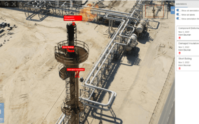
8 Ways to Optimize Drone Asset Inspections
UAV-based inspections are becoming increasingly commonplace in the energy and industrial manufacturing industry. Fueled by the evolution of...
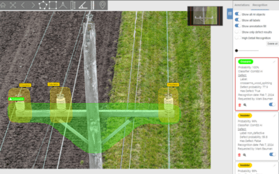
ComEd Case Study: Automating Grid Analytics Through Drone Power Line Inspection and Computer Vision AI
ComEd is automating grid analytics through drone power line inspection and computer vision AI. The Advanced Image Analytics Program was launched to build a more effective and proactive maintenance program, better identify defect conditions, and identify the defects more quickly and efficiently. This human + machine approach leverages Optelos for visual data management and AI-powered analytics to create a more resilient and reliable grid.
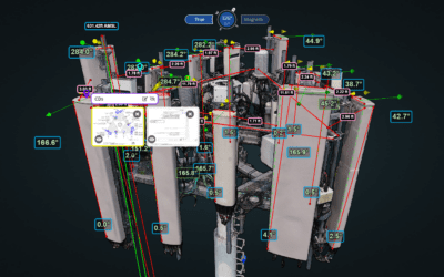
Streamlining Cell Tower Inspections and Site Assessments
Ensuring the precision and accuracy of cell tower records is of paramount importance to cell tower owners and operators performing cell tower inspections and site assessments. Telecom service providers are turning to drone inspection with AI analysis and effective visual data management to digitalize their inspection programs to provide the accurate and reliable data needed to support efficient cell tower maintenance and technology rollout programs, enhancing decision-making and significantly reducing operational costs.
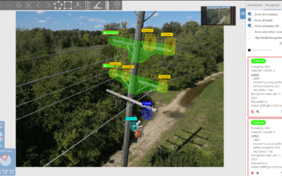
Aerial Utility Inspection: Transforming Asset Management with Aerial Drone Inspections for Utilities
Electric utilities in power generation, transmission and distribution are turning to drone powerline inspection to increase the frequency, scope and accuracy of infrastructure inspections and vegetation management programs.
The Optelos Difference – Drone Inspection Services
Optelos drone inspection services deliver industry-leading drone data capture results by combining best-in-class people, process, equipment and software.
2023 AFPM Summit Recap
The 2023 AFPM Summit brought together industry leaders, experts, and innovators for a four-day event to exchange knowledge and collaborate. This year, the spotlight was firmly on the digital transformation occurring within the industry, especially as it relates to asset management and inspection.
Leveraging Drone Data Analysis for Efficient Asset Inspection
Drone data analysis is gaining broad adoption across energy enterprises as drones are increasingly used for asset inspection due to their advantages on safety, delivering better inspection insights and reducing costs.
Oil and Gas Drone Inspections: Accelerating Asset Management
Oil and gas drone inspection offers cost and safety advantages, but requires thoughtful data management In the oil and gas industry, asset...
The Future of Oil and Gas Inspection Software
In the evolving landscape of the oil and gas sector, operational efficiency and asset reliability have become paramount. As global demand surges and...
Digital Twin Oil and Gas Definition and Applications
Digital twin oil and gas applications are gaining broad adoption across energy enterprises by dramatically improving safety, inspection insights and reducing costs. There are several different definitions for digital twins that can result in confusion. This explains what they are and how they’re used.
