Power Utilities
Utility Vegetation Management Automation
LiDAR drone inspection with AI/ML algorithms can automate the detection and prioritization of vegetation encroachment
Automating Utility Vegetation Management
The traditional method of utility vegetation management often involves ground-based visual assessments and manual review of aerial and truck-mounted PTZ camera imagery. These vegetation encroachment monitoring methods are effective, but very resource intensive, slow expensive and are not scalable. It’s not only labor-intensive, but often lacks the comprehensive coverage needed for large distribution and transmission networks. LiDAR sensors mounted on fixed wing UAVs, autonomous quadcopter drones and airplanes, however, have introduced a paradigm shift in how utilities approach this critical task.
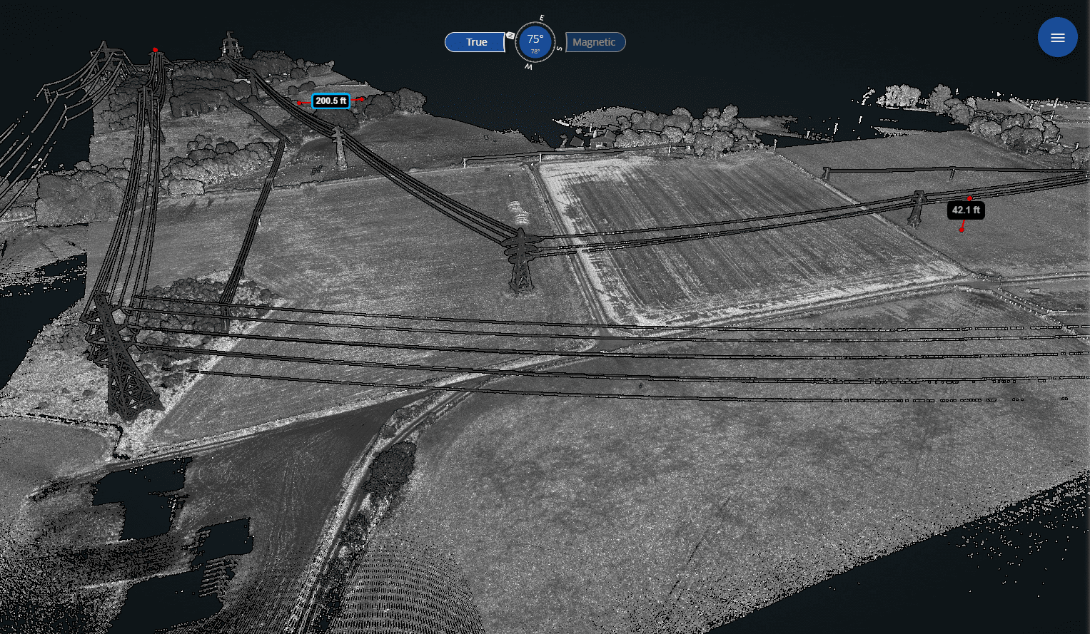
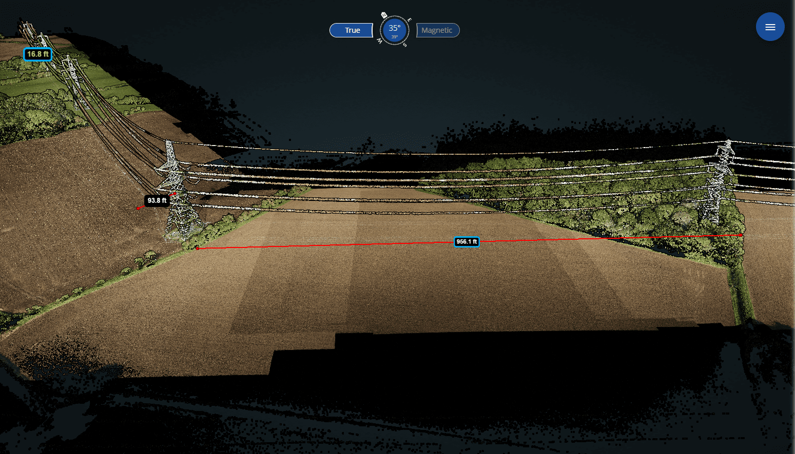
- LiDAR sensors (Light Detection and Ranging): This cutting-edge technology is gaining popularity due to its ability to penetrate the vegetation canopy. LiDAR utilizes laser sensors to generate remarkably precise three-dimensional maps of various environments, including distribution and transmission corridors. Whether it’s a tree branch inching closer to a transmission line or an entire canopy threatening a power corridor, LiDAR imagery captures it all.
- Fixed wing drones can monitor miles upon miles of transmission lines in a fraction of the time required by traditional approaches. This not only reduces operational costs but also amplifies the frequency of inspections. The accuracy of drone-based monitoring also surpasses manual inspections, capturing potential threats that ground-based surveys might overlook.
- AI/ML processing: Drones equipped with LiDAR, thermographic or standard RGB sensors can collect a wide array of data— from the density of vegetation to moisture levels. When processed through Optelos’s drone power line inspection software platform, this data can be transformed into actionable insights by flagging problem areas, predicting impingement based on standard vegetation growth rates, and providing heat maps of problem areas where crews need to be sent first. This enables utilities to not just identify, but also prioritize and address vegetation threats based on accurate, real-time data.
Complete the form to download our white paper, or follow the link below to request a personalized demo, program consultation or ask a question.
Download white paper
“Optelos delivered a solution that greatly improved our complex asset inspection and maintenance program across the entire organization and allowed us to manage and analyze our asset data like never before”
Matt Rachford Innovation Leader, Georgia Pacific
LiDAR Scans, Monitoring and Analytics
LiDAR scans are useful for utility vegetation management programs due to their ability to penetrate the vegetation canopy and see power corridors that may be obstructed by encroachment. This can help to proactively prevent power interruptions, reduce infrastructure damage, and improve overall safety for both utility customers and employees.
- Regular inspections using LiDAR provide the ability to detect, monitor and predict vegetation growth patterns and to project service-impacting encroachments.
- LiDAR scans can cover a much larger area than traditional inspections more quickly and easily. This enables utilities to gather data faster and make informed decisions about where to focus limited resources in near real time.
Effective Drone Data Management
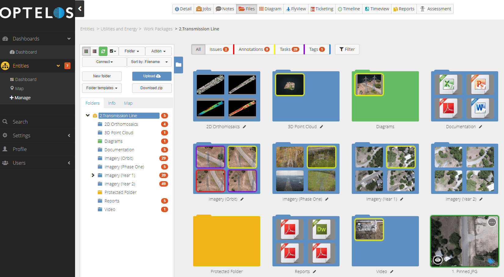
Our patented visual data management system US Patent No. 10,418,068geolocates and correlates data from any source, organizing vast amounts of unstructured visual data into an intuitive, contextualized and searchable database ready for analysis and AI implementation.
- Organize utility vegetation management data by geography, sector or asset type, each with its own user access level for data compliance.
- Securely share inspection program data with stakeholders inside and outside the organization to improve communications and clarify work order assignments.
Visual AI and Machine Learning: Automated Encroachment Detection
The integration of visual AI and machine learning into utility vegetation management programs represents a significant leap forward in capacity, accuracy and efficiency.
- Visual AI algorithms, which can be managed end-to-end within the Optelos platform, process the drone imagery to detect signs of vegetation encroachment, predict the growth trajectory, potential points of contact with power lines, and assess the priority of the threat.
- Complete model retraining within the Optelos platform. Continuous learning ensures that the system’s precision improves through experience, offering more reliable and actionable insights accounting for seasonal variations.
- Link Optelos to Skydio Cloud for automated data upload and AI processing of autonomous drone imagery, saving time and resources in data management.


