Optelos delivers robust data management and analytics complementing SkyCam Aviation’s unique multi-spectral data collection services
Austin, TX January 31, 2022 – In searching for a visual data management and analytics platform to securely deliver data and actionable insights to its customers, SkyCam Aviation has selected Optelos as their platform of choice. SkyCam Aviation provides visual data collection services using fixed wing aircraft and employs multi sensor technology to provide robust imagery to support a wide range of customer applications. The Optelos platform will be used to securely manage collected imagery, visualize and analyze inspection data, generate custom reports, and deliver actionable insights to SkyCam’s customers.
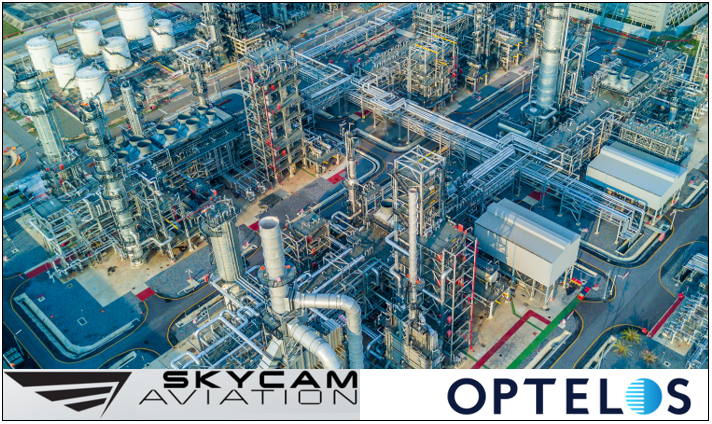
SkyCam Aviation’s robust imagery solution including it’s 6-sensor platform with the highest quality 4k geotagged videos and images are human viewable, GIS and analytics ready and perfectly suited for AI solutions. This capability will be further enhanced when combined with the Optelos visual data analytics platform. Using the Optelos platform, SkyCam Aviation customers will be able to easily view data from SkyCam’s 6-sensor platform which includes 4k (50mm-1200mm lenses), FLIR, SWIR, and hyperspectral sensors, as well as SkyCam’s spectral detection of both methane and diesel.
SkyCam captures oblique images for the best perception and viewing, and when combined with Optelos data visualization and detail 2D and 3D models, allows the customer to view the asset as if standing there. “We’re excited to be working with Optelos to further enhance the secure data delivery and analysis capability for our customers. We’ve evaluated many solutions and determined Optelos to be best in class for our needs and to meet the ever-expanding needs of our customers” said Chris Dombrowksi, CTO SkyCam Aviation.
The Optelos platform plays a critical role in the overall solution for the customer, not only managing all collected inspection data, but also providing robust visualization of all data sources, high resolution images and videos, detail Orthomosaic 2D maps, and accurate 3D models (Digital Twins). The platform provides highly secure access and data delivery capability allowing all visual data to be organized and managed on a customer-by-customer basis. The integrated analysis capability provides both direct measurement capability as well as supports AI-powered inspections. In announcing the partnership, Ed Sztuka, Optelos CRO, noted, “Working with SkyCam Aviation is a natural fit for us. They provide some of the most robust and diverse data collection capabilities in the industry today, and the Optelos platform is perfectly suited to help them deliver maximum value to their customers. We’re delighted to be partnering with them.”
About Optelos
Optelos is a flexible, scalable and secure cloud-based visual data management and AI analytics platform that transforms geovisual data into actionable insights. Our patented technology geolocates and correlates all types of asset inspection data, organizing vast amounts of unstructured data into an intuitive, contextualized and searchable database ready for analysis and AI implementation. Leveraging computer vision AI, advanced image modeling and APIs for enterprise systems integration, Optelos enables businesses to operationalize and automate their visual asset inspection programs. Optelos is based in Austin, TX. For more information, visit optelos.com
About SkyCam Aviation
From SkyCam Aviation, Inc.’s inception, it envisioned a high-resolution aerial imagery and remote sensing solution that was economically priced for industry. SkyCam Aviation’s vision demanded that it invent and create a completely new system of obtaining imagery and sensing, as other comparable products on the market were incomplete. This enables SkyCam Aviation to offer an imagery and remote sensing solution that is in some cases 10% the cost of other aerial methods and is scalable to tens of thousands of miles a month. We have opened the door for industry to have imagery and sensing of each and every asset while being an economical addition to current patrol, inspection, and compliance programs. Learn more at skycamaviation.com.