Manufacturing
Transform manufacturing capital project planning with digital twins
Reduce schedule risk and improve productivity with visual planning tools and 3D Digital Twins
Digital Twins streamline and simplify the planning of manufacturing capital projects
Proper capital projects manufacturing planning is critical, where informed decision-making and meticulous planning can make the difference between a successful project and an expensive misstep. Optelos’ advanced digital twin platform is designed to revolutionize your capital projects manufacturing planning, enabling planners to view the entire plant site in detail from any angle, with integrated measurement and analytics tools for precise site and equipment understanding.
Optelos’ manufacturing inspection software provides a dynamic, flexible and scalable platform for all data related to your asset inspection program. Utilize drone imagery to create a detailed digital twin replica of your facility, and append it with other sensor data from drones, mobile images, inspection report documents, videos and IoT sensors to create an immersive 3D environment that contextualizes this information for a holistic asset view. This Digital Twin provides a comprehensive view of your current asset conditions and enables effective scoping and collaborative planning of projects utilizing desktop engineering and remote analysis.
- Remote Planning – 2D/3D Models of the project site allow for accurate remote planning activities, reducing the number of personnel required onsite and re-trips.
- Project Visualization – Detailed aerial 3D models with project Work & Scheduling information overlays, allows you to see exactly where and when the work is occurring.
- Collaboration – Our SaaS-based platform with robust dashboards & visual scheduling tools allows all project stakeholders to monitor progress and closeout tracking on a daily basis.
- Data Consolidation – Ingest any type of project data including: Images, CAD documents, Inspection Reports, Video, loT data, etc. removing data silos and create a single point of access and data truth for improved productivity, safety, and risk mitigation.
- Actionable Data – Leverage all your project data to immediately impact project safety and
performance metrics.
Complete the form to download our white paper, or follow the link below to request a personalized demo, program consultation or ask a question.
Download white paper
“8 Ways to Optimize Drone Asset Inspections: Optelos Puts Together Lessons Learned from Enterprise Clients”
“Optelos delivered a solution that greatly improved our complex asset inspection and maintenance program across the entire organization and allowed us to manage and analyze our asset data like never before”
Matt Rachford Innovation Leader, Georgia Pacific
Organize and Aggregate Visual Data
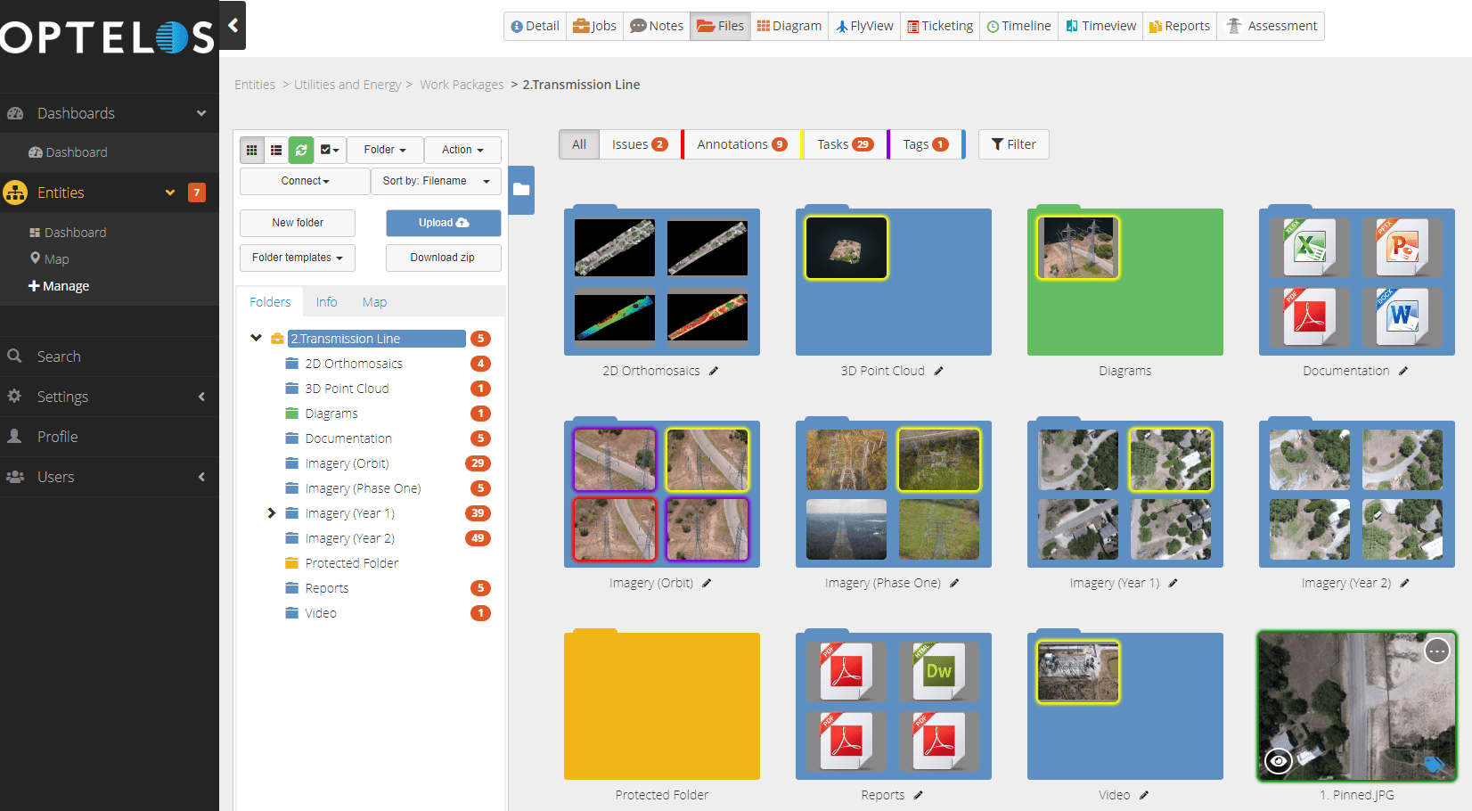
Manage any type of project data including 3D Digital Twin models, 2D orthomosaic maps, images, CAD drawings, inspection reports, video, IoT data, and more. View and share all types of data through the platform with a robust set of visualization tools and file viewers.
- Remove data silos and create a single point of truth and reliable data access for improved productivity, safety, and risk mitigation.
- Improve project oversight, site visualization and collaboration between all project stakeholders using 3D Digital Twins.
- Leverage project data and dashboards to streamline post project reviews, debriefing, reporting, performance analysis, metric and milestone achievements, and lessons learned.
Measure, Inspect and Plan with Digital Twins
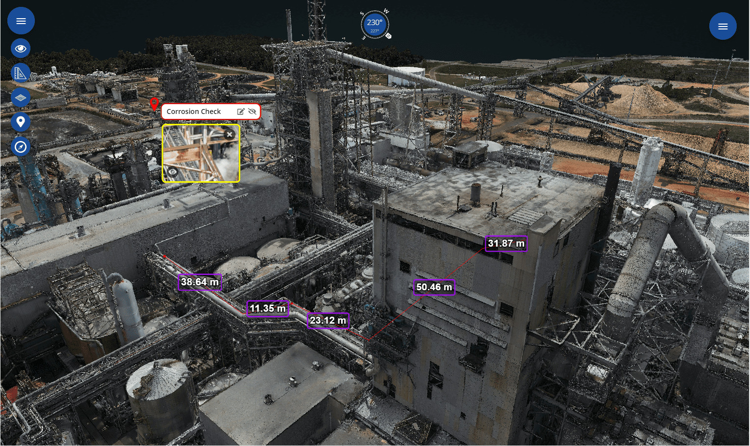
Use the platform to create precise 2D orthomosaic maps and 3D mesh and pointcloud Digital Twin reality models. Improve your capital projects manufacturing planning by making precise measurements and detailed analyses of assets, structures, building sites and equipment using 3D Digital Twin point cloud models.
- Identify and monitor a variety of asset conditions up to millimeter level accuracy.
- Perform detailed measurements on assets for material, turnaround and repair planning. Measure distances, angles, estimate volumes, azimuths and heights of objects.
Visually Track Project Progress
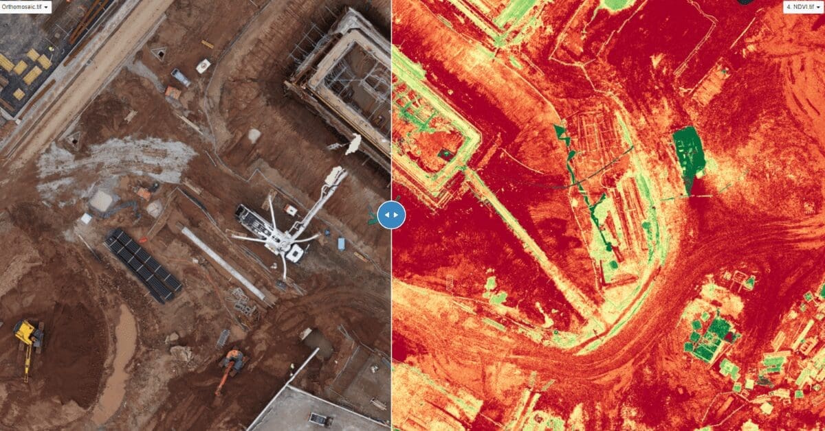
OrthoCompare™ feature overlays orthomosaic maps by date, project stage or sensor type to track project progress in detail.
- Optelos platform automatically align images by precise GPS coordinates to allow for seamless slider viewing of two orthomosaic maps.
- Overlay multiple maps to sequentially visualize site progress over time and by phase using our Multi OrthoOverlay™ feature.


